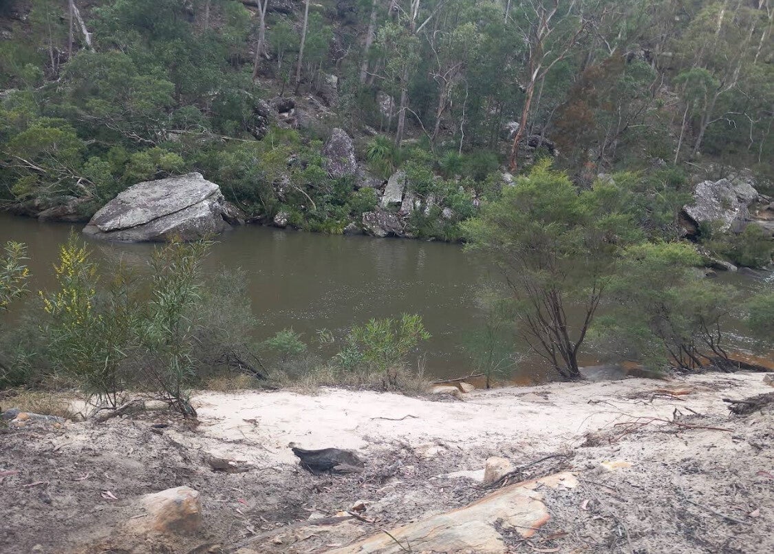
Georges River: flooding, floodplains and human settlements
A Stage 3 Geography Virtual Site Study
By: Ledia Pola
Student ID: 22063544
Assignment three - TEAC2063
Acknowledgement of Country
I would like to acknowledge the Traditional Custodians of the land on which we learn and work and pay my respects to Elders past and present. I extend that respect to all Aboriginal and Torres Strait Islander peoples.
Welcome to our virtual site study!
Welcome to our field study of the Georges River in Sydney, New South Wales. In this study, we will examine how the river’s landscape is altered by flooding and the impact this has on surrounding communities.
This well-known river flows through several locations in Sydney. Its catchment area collects rainwater from an extensive region, and the river is also known for its long history of flooding. The floodplains between Glenfield and East Hills are of critical importance for understanding the causes of flooding and the associated risks along the river—a point underscored by the New South Wales State Emergency Service (SES).
Floodplains are defined as broad, flat areas adjacent to a river that may become submerged during a flood.
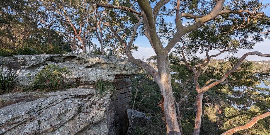
The core inquiry question
How the river’s landscape is altered by flooding and the impact this has on surrounding communities.
Fieldwork location and inquiries
Catchment location
Georges River Catchment
Sydney, New South Wales, Australia
Supporting NSW Stage 3 HSIE Geography units on Factors that Shape Places.
Create Your Own Website With Webador